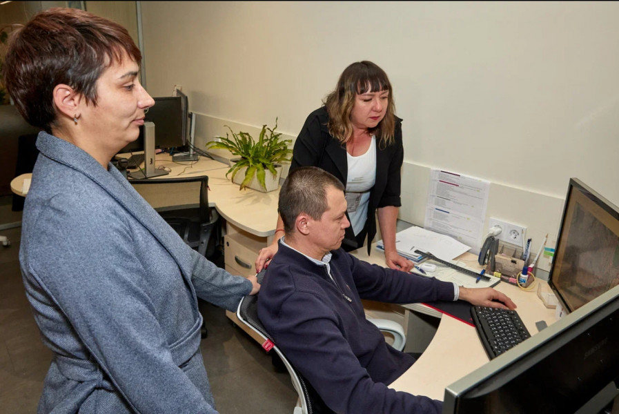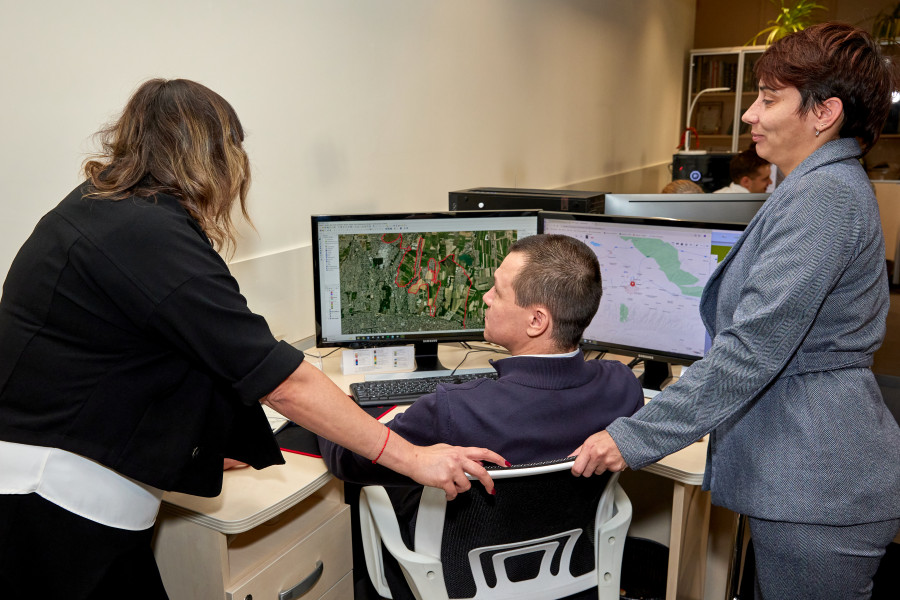
As part of the project, up-to-date satellite images have been commissioned and received, covering not only the city of Bishkek but also adjacent areas, with a total area of 2,500 sq. km. Obtaining high-quality satellite imagery is a labor-intensive process, involving not only the integration of advanced space technology but also careful, multi-stage data processing.
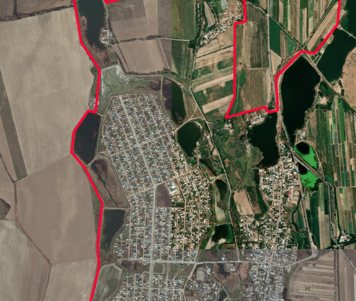
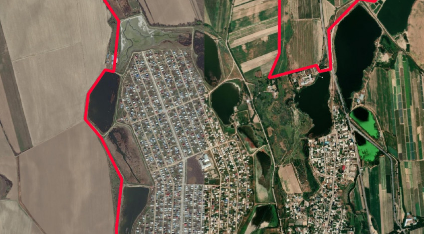
These images provide highly accurate and timely visual information of the territory, allowing for:
Detailed analysis of urban infrastructure, development, and layout.
Assessment of the condition and dynamics of land use.
Identification of problem areas, growth zones, and promising directions for urban development.
Formulation of comprehensive recommendations for strategic planning and improvement of the urban environment.
The use of satellite imagery significantly enhances the quality and comprehensiveness of urban planning analysis, ensuring its objectivity and compliance with modern standards.